Lieux emblématiques
Great Mosque of Touba: entering the holy city as a guest
In Touba, you do not arrive as a tourist but as a guest of the Mouride brotherhood. The history of the mosque,…
Read the article ›
Home › Locations › Louga Region › Lac de Guiers: the great lake that keeps Dakar supplied with water
LOUGA REGION
A good share of the water that runs from Dakar's taps comes from a lake in the Sahel, some 250 km to the north-east. Lac de Guiers is worth a visit for its birds, its villages and its farmed shores, but first and foremost it makes sense as what it is: the country's freshwater reservoir.
The next glass of water you drink in Dakar may well have started its journey here. Lac de Guiers, a long sheet of fresh water lying in the middle of the Sahel between Richard-Toll and Keur Momar Sarr, supplies the capital through pipelines several hundred kilometres long. That is the right angle from which to discover it: not as just another pretty stretch of water, but as a working lake, on which the city’s taps, the fields of the Walo, the fishermen on its shores and a host of birds all depend. Come with that in mind, and a landscape that seems motionless starts to tell you a great deal.
| Region | Shared between two regions: the northern part, towards Richard-Toll, belongs to Saint-Louis Region (Dagana department); the southern part, around Keur Momar Sarr, to Louga Region |
| Type | Large, shallow freshwater lake, linked to the Senegal River by the Taouey |
| Getting there from Dakar | About 250 km to the southern shore (4 to 5 hours via Louga); about 350 to 380 km to Richard-Toll (6 to 7 hours via Saint-Louis) |
| Recommended time | Half a day from Richard-Toll; a day to follow the lake and its villages; two days to combine it with the Djoudj |
| Official fees | Shores freely accessible: no additional official fees. Tocc Tocc Community Reserve: any entry charges are payable on site and not included in the price |
| Best time to go | The dry season, November–April, for the birds and bearable heat |
| Related QFS activities | Birdwatching, pirogue trips, wildlife reserves & parks, cultural tours along the river, vehicle hire with driver |
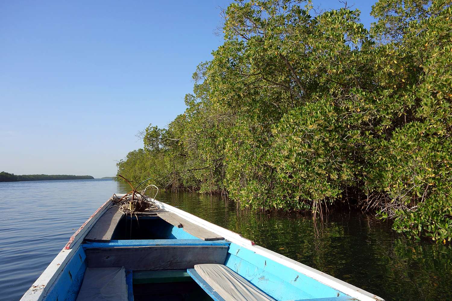
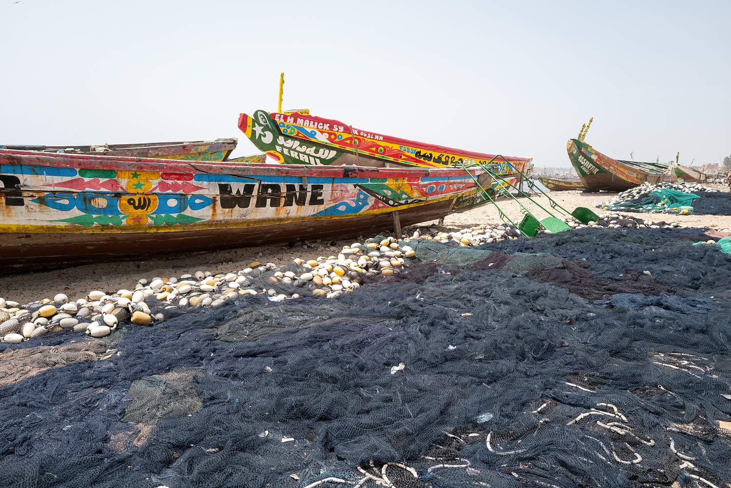
Live in Senegal? You may be benefiting from this lake every day without ever having seen it. That is a good reason to go: to understand where the capital’s water comes from, see the plant on the water’s edge, the canals and the irrigated fields, and grasp what a freshwater lake means in the middle of a dry landscape. For a long weekend, you can reach the southern shore via Louga in a morning; for a four-day break, combine it with Saint-Louis and the Djoudj. On activities booked with QFS, you get the resident rate: up to 30% off depending on the activity.
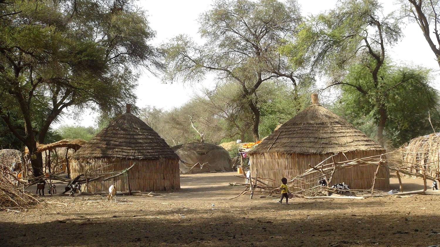
Just passing through? The Guiers cannot be done as a return trip from Dakar. It fits into a stay in Saint-Louis: a day heading east, via Richard-Toll, its sugar cane fields and Baron Roger’s folly, then the shores of the lake. Do not come looking for a beach or a resort: there is not one. Come for the vast expanse of water in a flat landscape, the birds, the fishermen’s pirogues and the Wolof and Fula (Peul) villages that live off the lake.
The Guiers lies in a long natural depression, running north to south, south-west of Richard-Toll. It is about 35 km long and at most 8 km wide, and very shallow: around one to two metres on average, rarely more than two or three. Its surface area varies with the water level, and published figures range from about 170 to 300 km². It has almost no supply of its own: it is the Senegal River that fills it, through the Taouey, a former natural channel that has since been straightened and canalised through Richard-Toll. To the south, the lake extends towards the fossil valley of the Ferlo.
For centuries, the Guiers lived to the rhythm of the river: it filled when the river flooded, dropped in the dry season, and salt water from the ocean could push up the river when the river was low. From the first half of the 20th century, structures on the Taouey began to control the inflow, and then a dyke was built to the south, towards Keur Momar Sarr. The decisive turning point was the Diama Dam, built on the river some 27 km upstream of Saint-Louis and completed in 1986. It is an anti-salt dam: in the dry season, it stops the sea from pushing upstream. Since then, the river and the lake have held fresh water all year round, which has made large-scale irrigation possible and secured the drinking water supply.
It is this permanent fresh water that made the Guiers the capital’s reservoir. A first treatment plant has been operating at Ngnith, on the west shore, since the early 1970s. The plants at Keur Momar Sarr, south of the lake, followed in the early 2000s, and a third unit was inaugurated there in July 2021 to keep pace with Dakar’s growth. The treated water then travels through buried pipelines 250 to 300 km long, also supplying towns in Louga and Thiès along the way. What share of Dakar’s water comes from the lake? Published figures vary with the year and the source, but most put it at roughly 40 to 60%, with the rest coming mainly from boreholes. Remember the order of magnitude: about half of the capital’s water.
Permanent fresh water also comes at a price. Without the salinity that used to keep them in check, aquatic plants have invaded the shores, especially typha, a tall reed that forms walls of vegetation stretching for kilometres. It blocks access to the water for fishermen and herds, slows the circulation of the water and shelters the snails that transmit bilharzia. The fight against these plants has kept researchers and the authorities busy for decades, and a public body, the Office du Lac de Guiers, was set up in 2010 to manage this strategic reserve. Another paradox, often pointed out by the Senegalese press: lakeside villages long watched Dakar’s treated water pass beneath their feet without having access to it themselves. Connections are progressing, but the issue remains a sensitive one on the lakeshore.
The shores of the Guiers are also steeped in history. Nder, near the lake, was a capital of the kingdom of the Walo. On a Tuesday in 1820 according to most accounts, in November 1819 according to others (the date is still debated), while the men were away, horsemen from the north attacked the village. The women, led by the linguère (queen) Fatim Yamar Khouriaye Mbodj, took up arms disguised as men and drove back a first assault. Knowing they would not hold out against the second, they chose to shut themselves inside the great hut and set it on fire rather than be carried off into captivity. The Talaatay Nder, the Tuesday of Nder, has remained one of Senegal’s great stories of resistance. The old site, set apart from the present-day village, has little protection: you go there for the memory, not for a monument.
Réservez votre sortie avec nos prestataires locaux. Le prix du service est distinct des éventuels coûts officiels réglés sur place.
Guided half day at Djoudj National Bird Park
Saint-Louis · Half-day (5h)
Guided excursions in Saint-Louis
Saint-Louis · 1h30 to several days depending on the option
Djoudj day trip from Saint-Louis: pirogue and horse cart
Saint-Louis · 1h30, Full day
| Fact | Figure |
|---|---|
| Length | About 35 km, north to south |
| Width | Up to about 8 km |
| Depth | Shallow: around one to two metres on average |
| Surface area | Varies with the level: about 170 to 300 km² depending on the source |
| Water supply | Senegal River, through the Taouey, canalised at Richard-Toll |
| Diama Dam | Completed in 1986, about 27 km upstream of Saint-Louis; blocks salt water from pushing upstream |
| Drinking water plants | Ngnith (early 1970s); Keur Momar Sarr (2000s, third unit inaugurated in July 2021) |
| Pipelines to Dakar | About 250 to 300 km |
| Share of Dakar’s water | Around half, roughly 40 to 60% depending on the year and the source |
| Bird status | Important Bird Area (IBA) |
| Tocc Tocc Reserve | Community nature reserve, Ramsar Site since 2013, about 270 ha, some twenty kilometres south of Richard-Toll |
| Women of Nder | 1820 or November 1819 depending on the account: date debated |
There are two ways in, depending on your route. From the north, from Saint-Louis: the national road follows the river east to Richard-Toll, about a hundred kilometres away, or roughly two hours. From Dakar, allow 4 to 5 hours to Saint-Louis, then those two extra hours: this is a two-day trip, not an excursion. From the south, from Dakar: take the Saint-Louis road as far as Louga, then a secondary road towards Keur Momar Sarr, about fifty kilometres further. Allow 4 to 5 hours in all for about 250 km.
Public transport serves Richard-Toll and Louga, but not the shores: to follow the lake, go into the villages and stop wherever you like, a vehicle with driver remains the simplest solution. Fill up the tank and bring cash: petrol stations and cash machines are few and far between once you leave the towns.
The lake’s shores are freely accessible, with no ticket office: no additional official fees to see them. The Tocc Tocc Community Nature Reserve is run by the commune and its eco-guards; if you are asked for visiting charges, they are paid on site and are not included in the price of the activity.
Excursions, visites guidées et combinés : nos prestataires locaux organisent tout.
Guided excursions in Saint-Louis
Saint-Louis · 1h30 to several days depending on the option
4×4 excursion from Saint-Louis: bush and villages
Saint-Louis · Half-day (~4h)
Electric scooter ride in Saint-Louis
Saint-Louis · 30 min – 1h
The Guiers is part of the great journey up the river described on our Saint-Louis Region page; its southern shore is covered on the Louga Region page. To the west, the city of Saint-Louis is the natural base for your stay. In between, the Djoudj National Bird Sanctuary (see also Djoudj) gathers more than a million birds in the dry season: a natural complement to the lake. Towards the ocean, the Langue de Barbarie and the Guembeul Reserve, in Gandiol, round off a day of nature. Carrying on east, Podor and its quays await the most curious. And on the way back to Dakar, the Lompoul desert (see Lompoul) lets you break the journey with a night in the dunes.
By season. The dry season, November–April, is the most pleasant: bearable heat in the morning and evening, plenty of birds, especially the migrants from Europe from December to February, the same period as for the Djoudj. In May and June, the heat becomes overwhelming during the day. The rainy season (hivernage), July to October, turns the shores green and raises the river, but the tracks become muddy and the mosquitoes numerous.
By time of day. Set off at dawn: it is the time for birds, soft light and fishermen coming home. In the middle of the day, do as the locals do and look for shade.
Sunset. The lake runs north to south: from the east shore, you see the sun going down over the water, behind the reed beds. The herds that come to drink at that hour complete the picture.
At the Guiers, most things start from Saint-Louis. For the birds of the lake, the Djoudj and the delta, see birdwatching and wildlife reserves & parks. To get close to the shores and reed beds on the water, choose one of the pirogue trips. For the history of the river, from Saint-Louis to Richard-Toll, there are the guided cultural tours. And to move freely along the lake, vehicle hire with driver or intercity transfers are the most flexible options; if you are arriving by plane, see the airport / Saint-Louis transfer.
You pay 20% to secure your booking (the booking fee), and the balance is paid on site, on the day. As the shores are freely accessible, there are no additional official fees for the lake; entry charges for a park or reserve, where there are any, are payable on site and not included in the price. If you live in Senegal, you get the resident rate: up to 30% off depending on the activity (the exact rate is shown on each listing).
In Touba, you do not arrive as a tourist but as a guest of the Mouride brotherhood. The history of the mosque,…
Read the article ›A Diola island with no road or bridge, deep in the *bolongs* (tidal creeks) of Oussouye, where the impluvium houses are homes,…
Read the article ›A quarter of an hour to half an hour by pirogue from Ndangane, Mar Lodj is defined by what it does not…
Read the article › Every Thursday · AYTHIA ÑU DEM
Good deals, news and highlights from Senegal, straight to your WhatsApp.
 On a computer? Scan this code to join the channel.