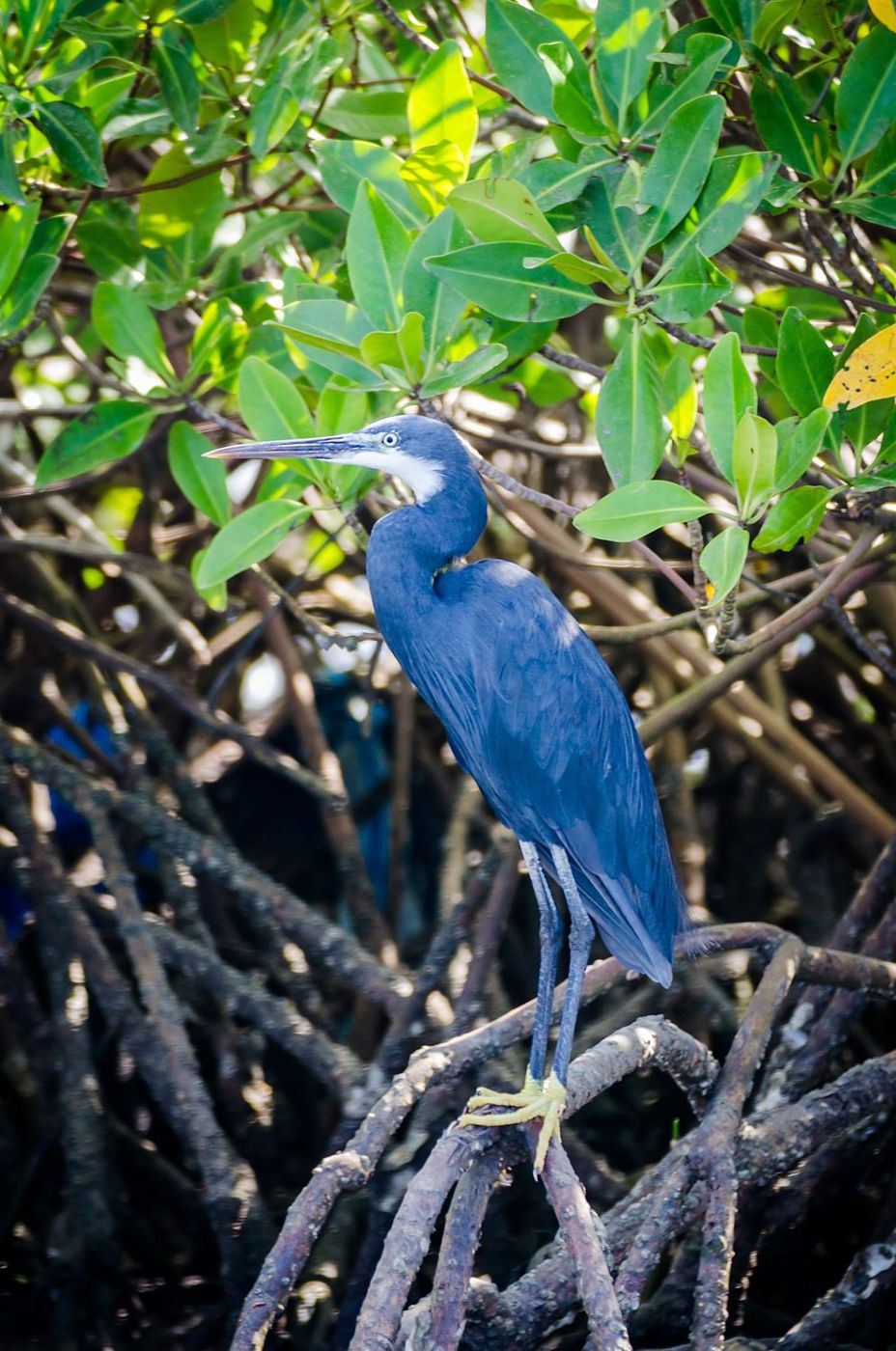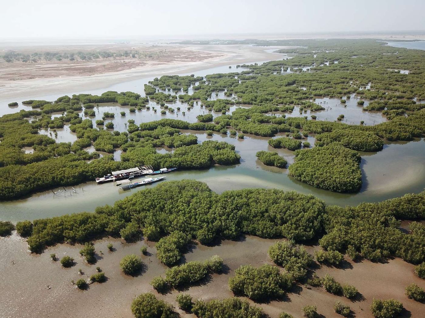
The Sine-Saloum Delta does not wait for you at a ticket office: it has no main entrance, no road running through it and no viewpoint from which to take it all in. It is a maze of saltwater channels, mangroves and islands, and the surest way to miss it is to treat it as a park you “do” in a day. What makes it unique is not what you might think, either: if UNESCO added it to the World Heritage List, it was first and foremost for the hills of shells its inhabitants have been piling up for centuries. You are visiting a lived-in delta, not untouched wilderness. This page gives you the key to reading it; the pages on the islands and villages then give you the ways in.
At a glance
| Region | Fatick Region, mainly Fatick department (north of the delta) and Foundiougne department (centre, islands and south) |
| Type | Maritime delta of bolongs (tidal creeks), mangroves and more than 200 islands and islets; national park, Ramsar Site, biosphere reserve and World Heritage Site |
| Getting there from Dakar | About three hours to Ndangane or Palmarin, a little more to Foundiougne; four hours, and often longer, to Toubacouta |
| Recommended time | Two nights minimum per gateway; four to five days to combine the north and the south |
| Official fees | Depending on the route, the Saloum Delta National Park entry fee, payable on site and not included in the price; each listing says whether it applies |
| Best time to go | Dry season, November to May; migratory birds mainly December to April |
| Related QFS activities | Pirogue trips, island excursions, birdwatching, fishing, traditional villages, safari at Fathala |
Resident or visitor: a delta you take in slices, or a delta you savour
Live in Senegal? The delta is your great breath of fresh air within driving distance, and one visit never exhausts it. Take it in weekend-sized slices: the north via the Petite Côte, with Ndangane and a night on Mar Lodj; the ocean side, with Palmarin and Djifère; the south via Kaolack, with Toubacouta, the mangroves at dawn and Fathala the next day. Leave early on Saturday to beat the traffic out of Dakar, and check the tide times before you plan your outing. On activities booked through QFS, you get the resident rate: up to 30% off, which makes these round trips easy to repeat every season, including in spring for the nesting birds.
Just passing through? Avoid the classic trap of the one-day “Saloum islands” excursion from Saly: you will spend more time on tarmac than on the water. The delta is best experienced early in the morning and late in the evening, when the light is low and the birds are active, so you need to sleep there. One gateway, two nights, one long pirogue trip, a village, a shell midden: that is the right formula for a first stay. And accept that the luxury here is silence.
A World Heritage Site made of meals
People often think the Sine-Saloum is protected for its mangroves. That is true, but it is only half the story. The delta holds four layers of protection, and they do not all say the same thing.
The first is national: the Saloum Delta National Park, created in 1976, covers several tens of thousands of hectares, mostly water, mangroves, sandy islets and, in the south, the Fathala forest. In 1981, UNESCO recognised the delta as a biosphere reserve, an area much larger than the park, where the aim is to reconcile conservation with the life of local communities. In 1984, it was designated a Ramsar Site, a wetland of international importance, for its breeding waterbirds and the migrants that arrive from Europe.
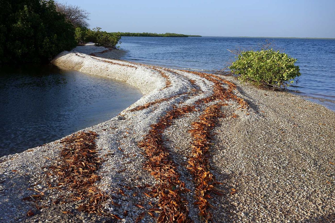
Then came 2011, and the surprise: when the delta was added to the World Heritage List, it was as a cultural property, not a natural one. UNESCO recognised the way the inhabitants have lived for centuries from fishing and gathering shellfish in brackish waters, without exhausting their environment. The most spectacular trace of this way of life is the shell middens: over the generations, the shells of ark clams, oysters and cockles discarded after each harvest have built up into real hills. The delta has more than two hundred of them, some several hundred metres long, and several dozen burial mounds, where the dead were laid to rest with their belongings. Some middens eventually became islands, on which baobabs have grown.
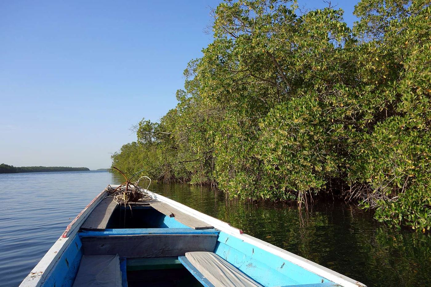
Keep this in mind from the pirogue: the tree-covered white mound you are gliding past is not a dune, it is an archive. And the fisherman hauling in his nets, or the woman prising oysters off the mangrove roots, is carrying on exactly what UNESCO set out to protect.
Bolongs and mangroves: reading the landscape
The delta is born where three great arms, the Saloum in the north and the Diombos and Bandiala in the south, meet the Atlantic. Between them, the water has carved out hundreds of channels, the bolongs, their banks held in place by mangrove trees. At high tide, the pirogue slips far into them; at low tide, some close up, but the exposed mudflats fill with birds and the oysters appear, clinging to the roots.
These mangroves are a larder as much as a backdrop: they hold the mud in place, shelter young fish and feed the villages. They also have their weak points. On the ocean side, the Sangomar sand spit was breached by the sea in 1987, and ever since the shoreline has been shifting visibly around Djifère and the exposed islands. This is a living delta, one that changes from one season to the next.