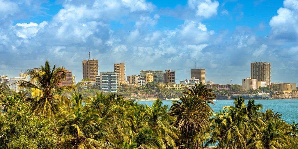
Palmarin
Home›Locations›Fatick Region›Palmarin
What to do in Palmarin?
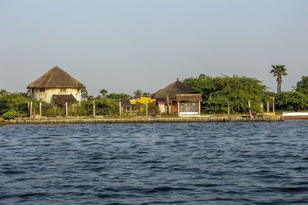
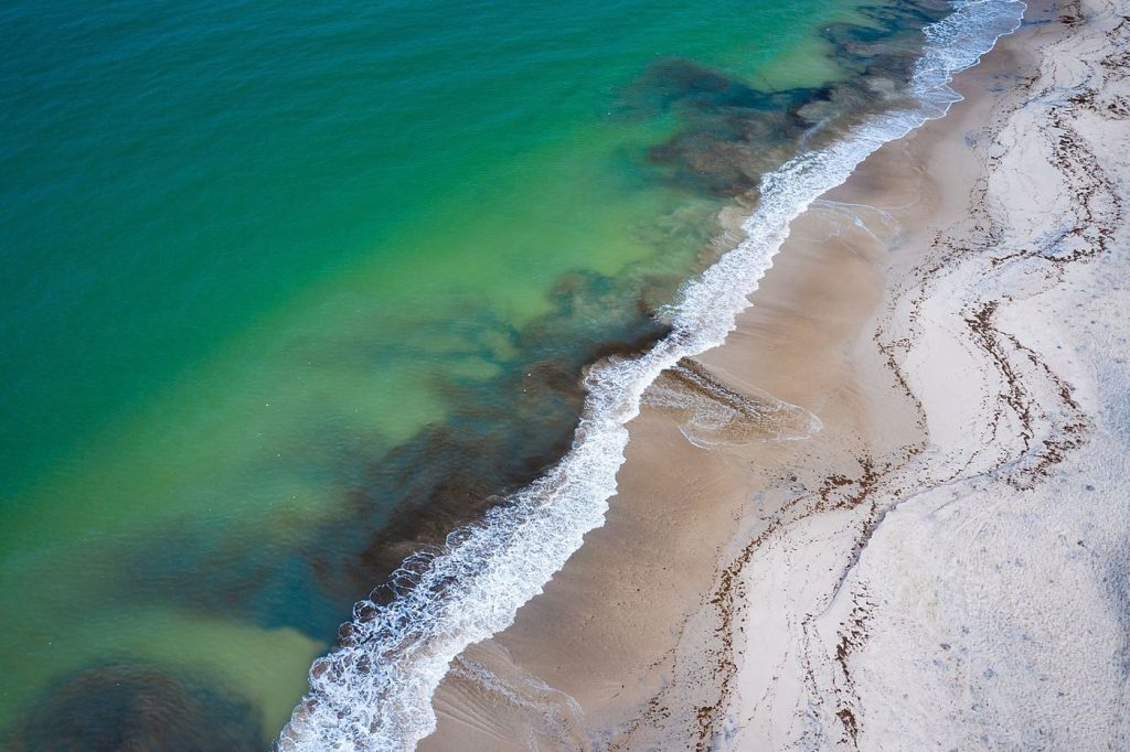
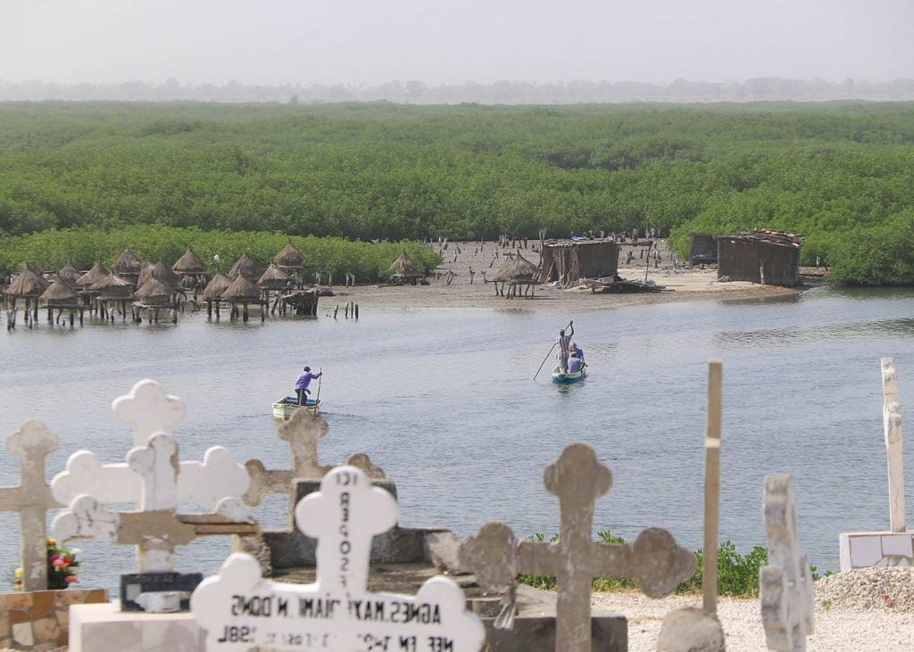
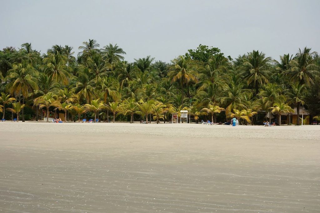
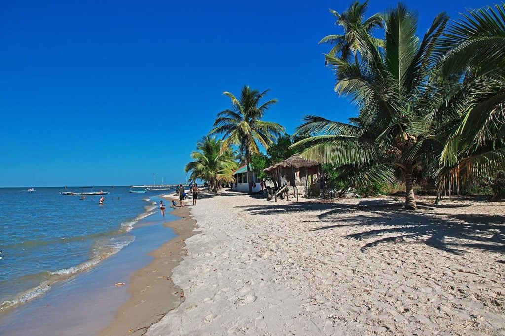
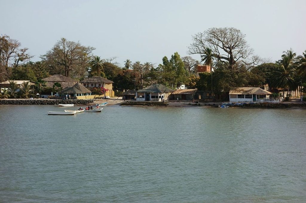
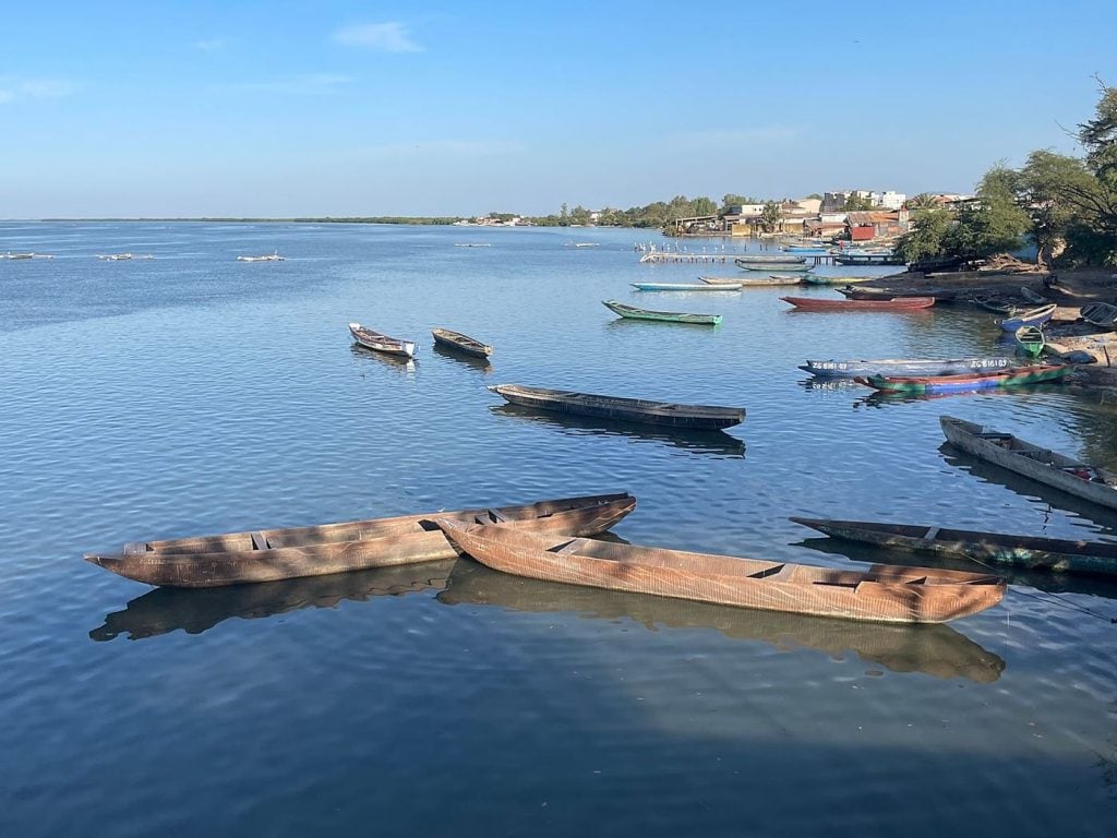
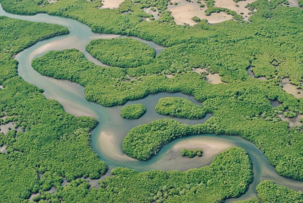
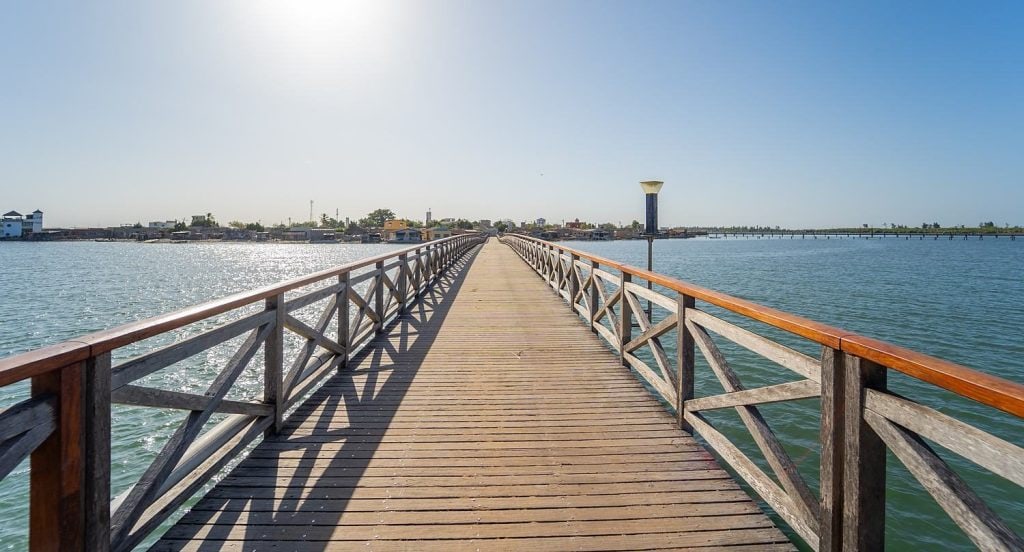
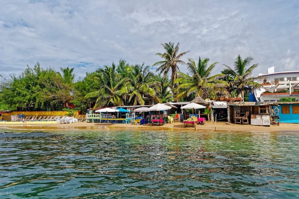
In Palmarin, do not look for the village: there are several, strung along a strip of land where the Atlantic and the Saloum Delta face each other a few hundred metres apart. On one side, long, almost empty beaches; on the other, lagoons, tann (salt flats) bleached white with salt, and mangroves.
Category
Duration
Where it happens
Who for
Guide language
6 activities
- Guided cultural tours
Visit to the Palmarin Nature Reserve
Palmarin · 1h30
From33 000 CFAResident price31 350 CFA−5 % - Boat trips (sunset, islands & sport fishing)
Palmarin salt pits visit by boat and on foot
Palmarin · 1h30 – 2h
From8 800 CFAResident price8 360 CFA−5 % - Guided cultural tours
Two-day stay in Simal and Palmarin, Sine-Saloum
Fatick Region · 2 days / 1 night
From231 000 CFAResident price161 700 CFA−30 % - Nature & culture discoveries
Pirogue trip in the Saloum Delta
Fatick Region · 1h, 2h, Full day
From5 500 CFAResident price5 225 CFA−5 % DO YOU LIVE IN SENEGAL?
AT LEAST
−5 %
AND UP TO
−30 %
off every activity in the catalogue.
The resident price is shown before you sign up. It is activated after a simple phone call, just once.
Get my status verifiedDO YOU LIVE IN SENEGAL?
AT LEAST
−5 %
AND UP TO
−30 %
off every activity in the catalogue.
The resident price is shown before you sign up. It is activated after a simple phone call, just once.
Get my status verifiedDO YOU LIVE IN SENEGAL?
AT LEAST
−5 %
AND UP TO
−30 %
off every activity in the catalogue.
The resident price is shown before you sign up. It is activated after a simple phone call, just once.
Get my status verified
At a glance
| Region | Fatick Region, Fatick department, Fimela arrondissement, commune of Palmarin Facao |
| Type of place | A string of Serer villages on a peninsula between the ocean and the Saloum Delta, with a community nature reserve |
| Villages | Ngallou (with Sessène and Sam-sam), Ngueth, Ngounoumane, Diakhanor, and Djifère at the far southern end |
| Getting there from Dakar | Around three hours depending on traffic, via Mbour then Joal |
| Recommended time | One night at least, ideally two |
| Official fees | Entrance fee for the community nature reserve, payable on site and not included in the price of activities |
| Best time to go | Dry season, from November to May; migratory birds mainly from December to April |
| Top activities on QFS | Pirogue trips, birdwatching, discovering the villages and the salt pans |
Resident or visitor: two ways to come to Palmarin
If you live in Senegal, Palmarin is the ocean gateway to the Sine-Saloum, and it is a proper weekend, not a day trip. Leave on Friday evening or early on Saturday to get out of Dakar before the traffic jams, sleep on site, and keep Sunday morning for the lagoon: that is when the light and the birds are at their best. The resident rate, up to 30% off depending on the activity, makes coming back season after season very affordable.
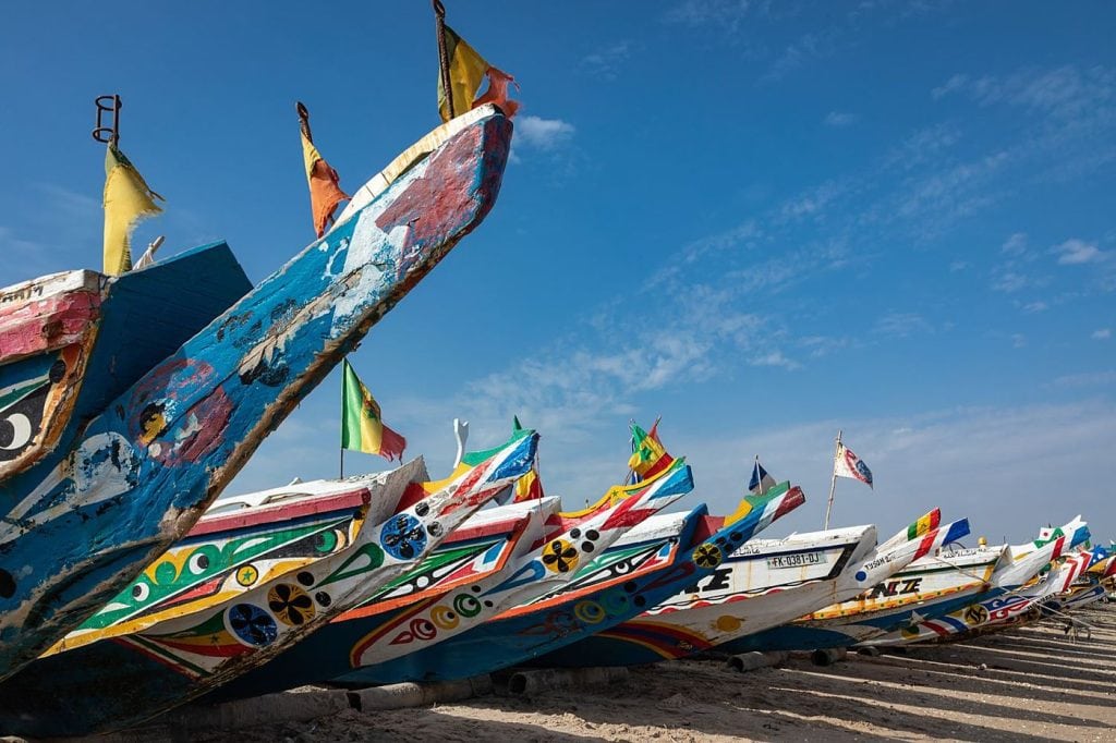
If you are visiting, the classic mistake is to drive through Palmarin between Joal and Djifère, just long enough for a photo of the pirogues. You would see a road lined with palm trees; you would miss everything else. Plan at least one night, take a cart or a pirogue rather than the car, and remember that you are in someone’s home: the salt wells are a workplace, and some of the reserve’s woods are Serer sacred sites. Ask before taking photos, and do not venture into the bush alone.
A strip of land between two waters
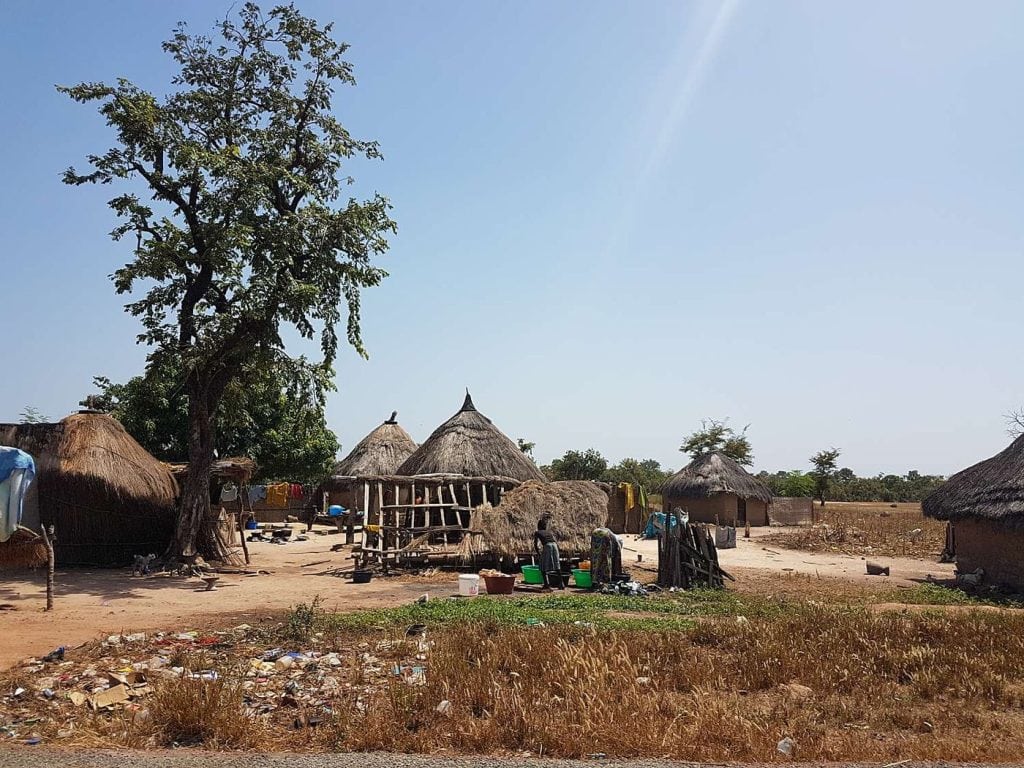
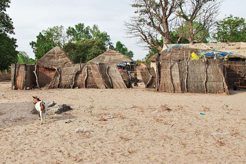
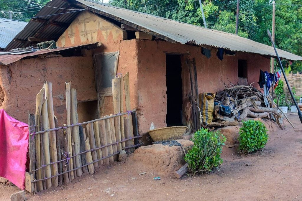
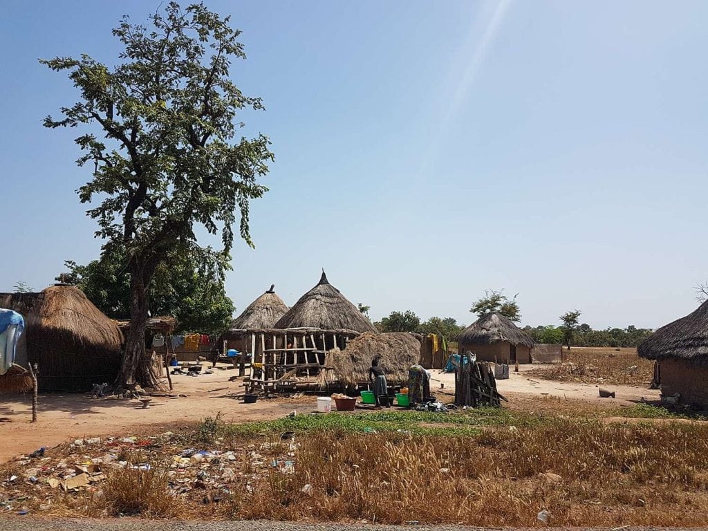
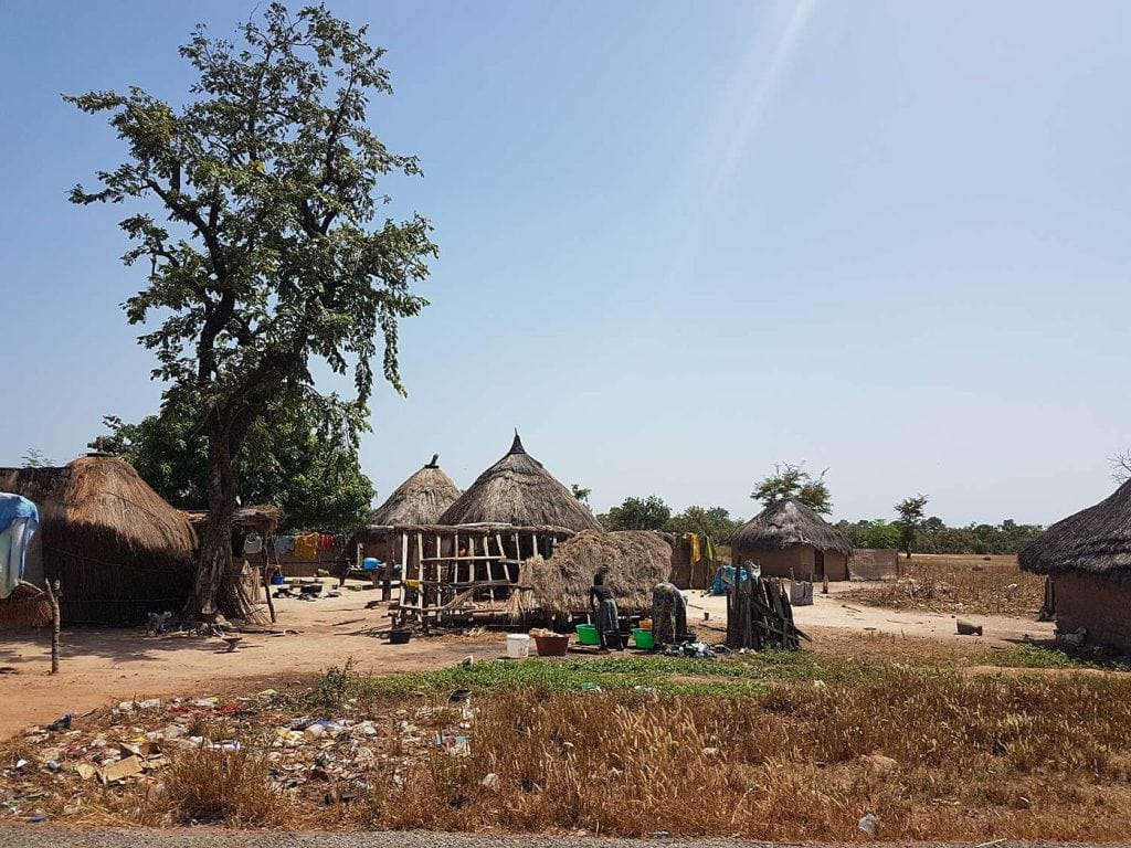
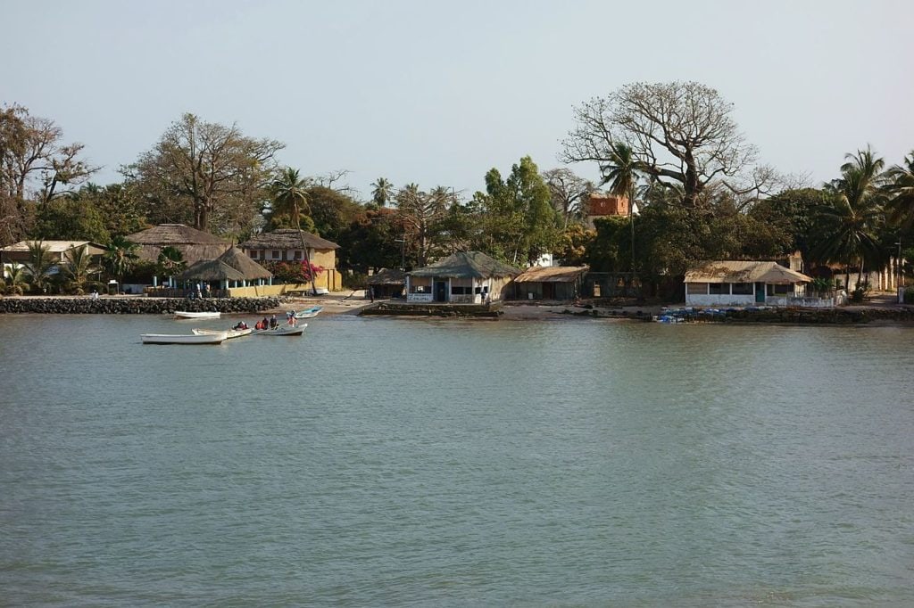
Palmarin occupies the northern part of the peninsula that runs down to the Pointe de Sangomar. To the west, the Atlantic; to the south and east, the Saloum’s arm of the sea, its bolongs (tidal creeks) and its islands. The name covers a commune, Palmarin Facao, and a series of villages spread out from north to south: Ngallou, with its neighbourhoods of Sessène and Sam-sam, Ngueth, Ngounoumane, Diakhanor, then Djifère, the fishing village at the end of the road. Several thousand people make a living here from fishing, farming, salt and, increasingly, from welcoming visitors.
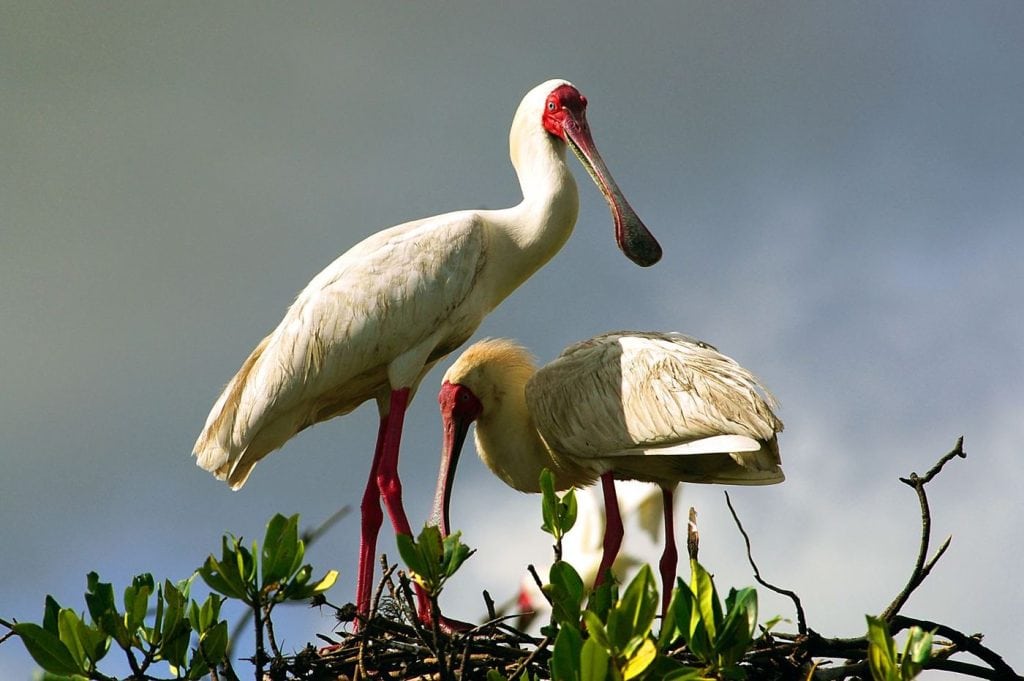
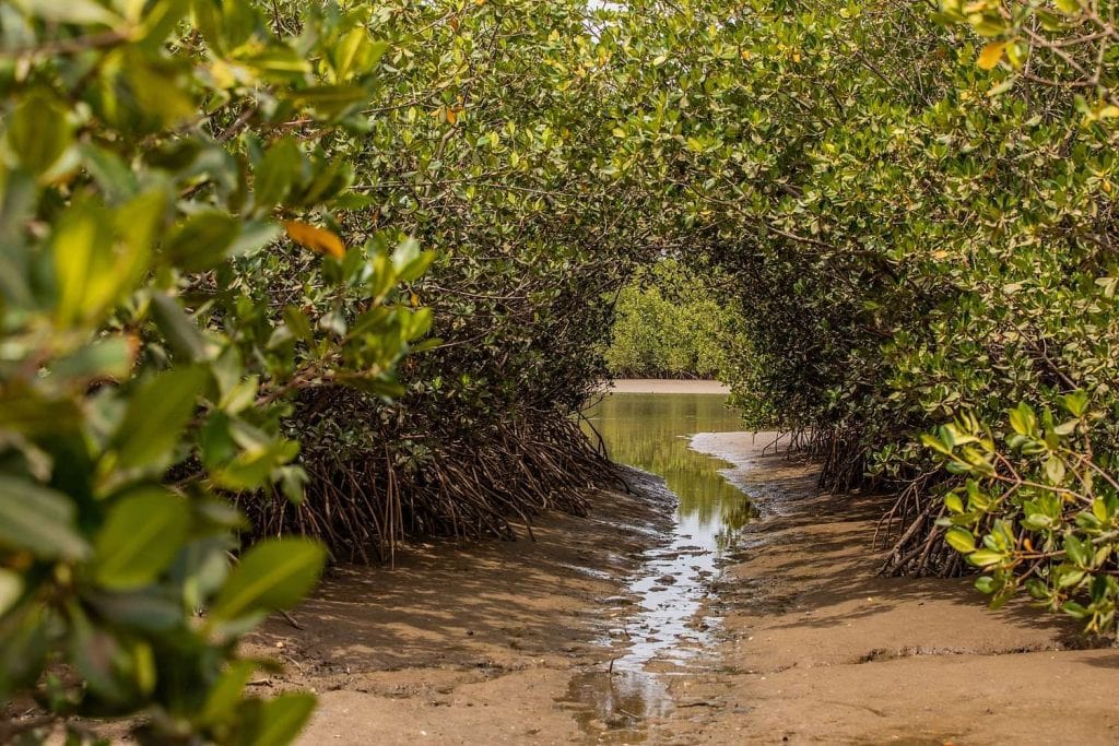
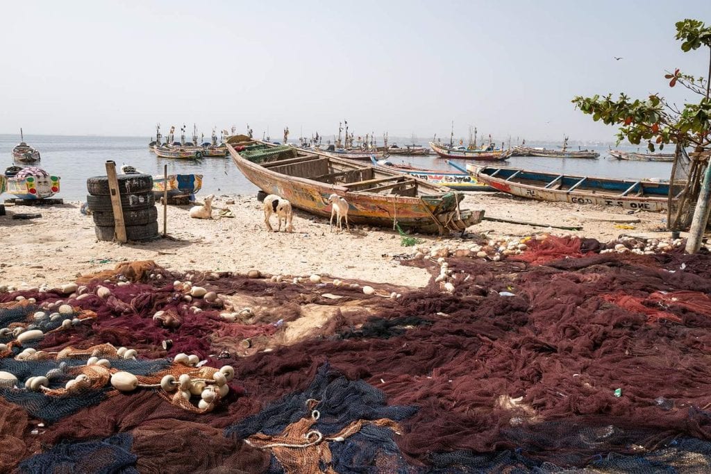
The landscape reads in bands. First the palm groves, coconut, oil and palmyra palms, which shade the villages and supply palm wine for the evenings. Then the tann, those stretches of bare, salty ground that the tide floods and abandons: this is where the women dig the salt wells, let the seawater evaporate and harvest the crystals by hand. Finally the lagoon and the mangroves, where pelicans, flamingos, herons, sacred ibises and avocets feed. It is not a fixed backdrop: erosion is eating away at the coastline, salt water is creeping inland, and the villagers talk about it as a daily battle.
Read more
A reserve decided by the villages
This is what makes Palmarin unique. In 2001, the rural council voted to create the Palmarin Community Nature Reserve: a little over 10,000 hectares of lagoons, mangroves, salt flats, savannah and islets, managed with the local population, its committees and its eco-guides drawn from the villages. The reserve is also a Ramsar Site, listed among wetlands of international importance. The entrance fee paid on site funds this local management.
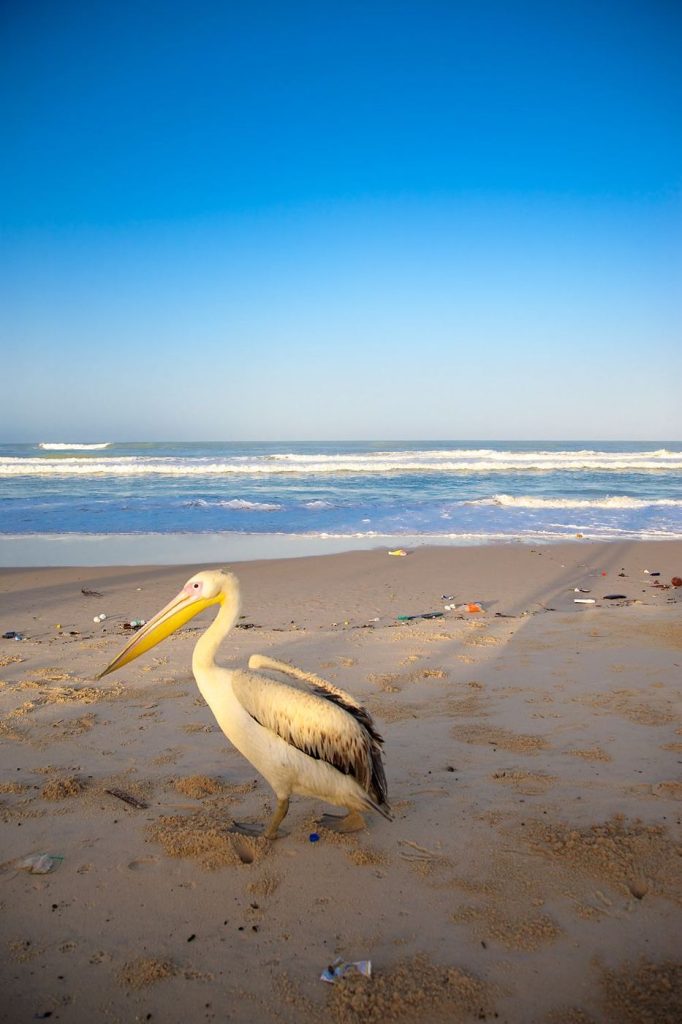
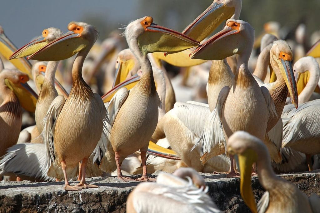
As for birds, the reserve’s counts record several dozen species and thousands of individuals in season: pink-backed and great white pelicans, flamingos, saddle-billed storks, Goliath herons, egrets, cormorants. Early in the morning, on a falling tide, the mudflats are at their liveliest.
Hyenas, without the fantasy
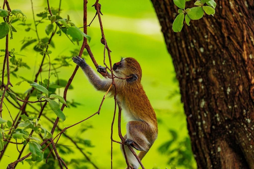
Yes, the reserve is home to spotted hyenas, along with jackals, servals and mongooses: the official wetland factsheet mentions them, and the local guides know them well. They come out at dusk, on the edge of the bush. But this is not a wildlife park: nothing is guaranteed, and on some evenings you will hear nothing but a distant cackle. Treat the evening outing as a taste of the back of beyond, always with an eco-guide, never alone on foot.
When to go
| Period | What happens | Our view |
|---|---|---|
| November to February | Cool dry season, plenty of migratory birds on the lagoons, tracks passable | The best time |
| March to May | Hotter and dry, birds still present, clear light | Very good, if you head out early |
| June to October | Hivernage (the rainy season): rain, mosquitoes, difficult tracks beyond Joal | For lovers of peace and greenery |
Getting there and getting around
From Dakar, head down the Petite Côte to Mbour then Joal, before turning south: allow around three hours depending on traffic. From Joal, there is just under half an hour of road left; by public transport, shared taxis run the route. Once there, carts, bikes and walking are enough to get between the villages, and the pirogue takes over on the water. During the rainy season, the road beyond Joal can become tricky: check before you set off.
Practical tips
Bring cash in small notes: the cash machines are in Joal and Mbour, not in Palmarin, and the reserve’s entrance fee is paid in cash. There is no shade on the lagoon: hat, sunscreen and water. At dusk, insect repellent and long sleeves, as the mangroves are never far away. For the evening outing, closed shoes and a head torch.
Nearby: Djifère, Sangomar and Joal
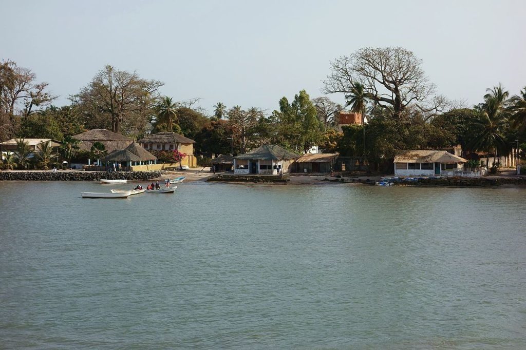
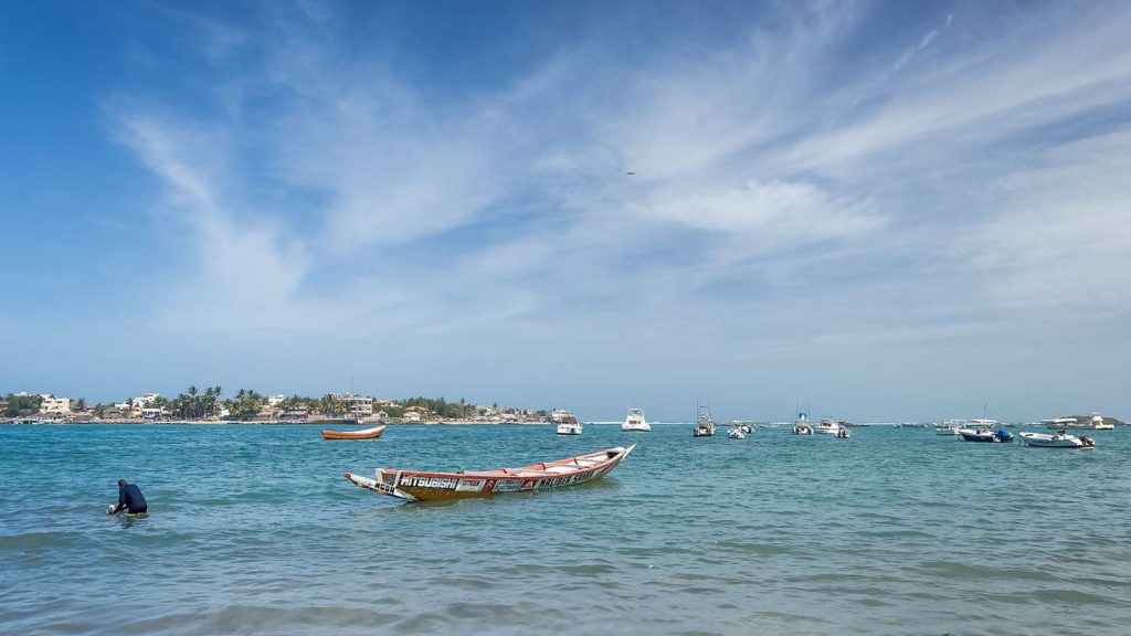
To the south, the road ends at Djifère and the Pointe de Sangomar. The fishing village faces the Sangomar sand spit, a sacred place in the Serer religion, where people come to honour the ancestors. Since the ocean broke through the spit in 1987, the landscape has been changing before your eyes, and Djifère lives with the sea on its doorstep. It is also a departure point by pirogue to the Gandoul Islands, Dionewar and Niodior.
To the north, Joal and its shell island of Fadiouth combine easily with Palmarin; Joal belongs to Thiès Region, but it is the natural gateway. Inland, Fimela and Ndangane open onto the northern part of the delta and the island of Mar Lodj. To choose your way into the delta, see the Sine-Saloum page; for Serer country as a whole, the Fatick Region page.
Book an activity in Palmarin with QFS
Activities in and around Palmarin, run by independent local professionals, can be found under pirogue trips, birdwatching, traditional sites & villages and island excursions. The price shown is the price of the activity: you pay 20% to secure your booking, which is the booking fee, and the balance is paid on site, on the day. The reserve entrance fee is paid on the spot and is not included in the price. If you live in Senegal, you get the resident rate: up to 30% off depending on the activity.
Frequently asked questions
Is Palmarin one village or several?
Can you really see hyenas?
Do you have to pay to enter the reserve?
Can you visit the salt pans?
How long should you stay?
Sénégal travel news
Latest news
Discover the latest trends and tips for traveling in Senegal. From cultural tourism to outdoor activities, stay informed about events and news that will enrich your stay.
Dakar 2026 Youth Olympic Games: your guide to Africa’s first Olympic Games, from the stands
Prayer times in Senegal: understanding the five daily prayers, from Dakar to Touba
TER Dakar–AIBD: the train finally serves the airport, and how to make the most of it
Great Mosque of Touba: entering the holy city as a guest
Podor: the gum arabic trading post at the end of the river
Mamelles Lighthouse: Dakar’s oldest watchman, at the top of the city
Lac de Guiers: the great lake that keeps Dakar supplied with water
Éloubaline Island: at the end of the creek, the houses that drink the rain
Mar Lodj: the Saloum island with no roads, no ticket office and no borders between faiths
Djifère: the end of the road, facing Sangomar
Niodior: the Saloum island many people read about before they see it
Dionewar: the Gandoul island that faces the ocean
Missirah: the fishing village with the giant kapok tree, at the far end of the Saloum
Sipo Island: the island that had a queen, across the water from Toubacouta
Wendaye Island: crossing a Diola island on foot, from the pirogue to the rice paddies
Pointe Saint-Georges: the end of the track where you watch for manatees
Boucotte: where the beach at Cap Skirring turns wild again
Édioungou: the village where *bolong* clay becomes a jar
Diakène: the gateway to the mangroves, between the Cap Skirring road and Egueye Island
Egueye Island: an island with no village, where the mangrove has the last word
Ourong Island: the end of the chain, where the Casamance islands run out
Katakalousse: the bridge on the Cap Skirring road, and the pirogue to the islands
Cachouane: the peninsula where the Casamance stops running
Kadioute: not an island, but a Diola museum among the roots of a kapok tree
Djilapao: a sculpted house at the end of a *bolong*
Mlomp: two-storey houses of raw earth, in the shade of kapok trees
Niokolo-Koba National Park: Senegal’s great wild bush, which owes you nothing
Dindéfélo Falls: the waterfall the villages chose to keep
Énampore: the house that drinks the rain, at the end of the Bandial road
Guembeul Reserve: on foot among the gazelles the Sahel had lost
Simal: the village on the bolong, at the end of the tann track
Hann Bel-Air: the bay Dakar damaged and is trying to repair
Ngor Beach: the village beach, between pirogues, the landing point and evening football
Anse Bernard: the Plateau’s only beach, and the one Dakar nearly lost
Ndianda: the Serer village you drive through without seeing, ten minutes from Joal
Carabane Island: reading Casamance’s former capital on foot
Lompoul desert: a little Sahara best experienced at sunset
Langue de Barbarie National Park: the park the sea redraws every year
Djoudj National Bird Sanctuary: the pelican haven that almost drowned under a fern
Nguéniène market: on Wednesdays, the Serer bush does its shopping (and you are invited)
Tortoise Village (Village des Tortues) in Noflaye: the African spurred tortoise’s waiting room
Popenguine Nature Reserve: the bush that women brought back to life
Joal-Fadiouth: the island where people are buried together, and the town where Senghor was born
The Somone lagoon: the mangrove that local people replanted
Hann Park: come for the forest, the zoo is not the point of the outing
Ngor Island: one island, two faces, and it is up to you to choose yours
Write to us: a real team, here in Senegal, will reply
Live in Senegal? The resident rate is made for you
Register your activity: we will take care of making it bookable
AFCON 2025: winners in Rabat, a title under appeal, and a country that lives for football
Dak’Art 2026: a month to see Dakar through its artists, from 19 November to 19 December
Saint-Louis Jazz Festival: five May nights when the whole island starts to swing
African Renaissance Monument: contested before it even stood, now Dakar’s landmark
Gorée Island: it is not one house that is listed, but the whole island
Lac Rose (Pink Lake): at Lake Retba, everything comes down to salt
Sine-Saloum Delta: a delta listed for its shells as much as for its mangroves
Madeleine Islands: the park you visit to take nothing away
Fathala Reserve: the Saloum forest where you come looking for the Derby eland
Bandia Reserve: a rebuilt savannah, from giraffes to the griots’ baobab
Mosque of the Divinity: the mosque born of a dream, set on the ocean’s edge at Ouakam
The Mamelles Lighthouse: Panorama and History of Dakar
Dakar’s markets: six markets, six ways to read the city (and to haggle)
House of Slaves, Gorée: what the door helps you understand
Great Mosque of Dakar: one minaret, three stories, and respect above all
Museum of Black Civilisations: a 1966 dream that opened in 2018
Théodore Monod Museum: West African art up close, in the calm of the Plateau
How to book your activity in Senegal
3 days in Dakar: a day of memory, a day of ocean, a day in working-class Dakar
What to do in Dakar Region? Pick what you feel like, we will show you where to go
Bringing Senegal to life? We bring you the people who want to experience it
About us: Senegal to do, not just to see
Saly and the Petite Côte: pick what you feel like, then get out of the resort
Frequently asked questions: booking an activity in Senegal
What to do and see in Senegal: our iconic places, region by region
Our partners: the people who bring Senegal to life, one activity at a time
General Terms and Conditions of Sale
Book a private activity in Senegal for your group